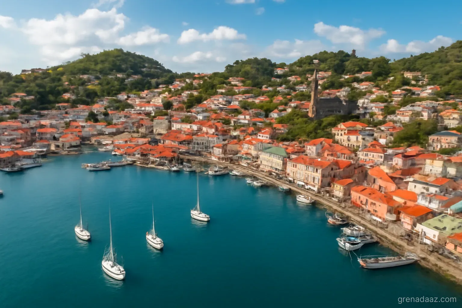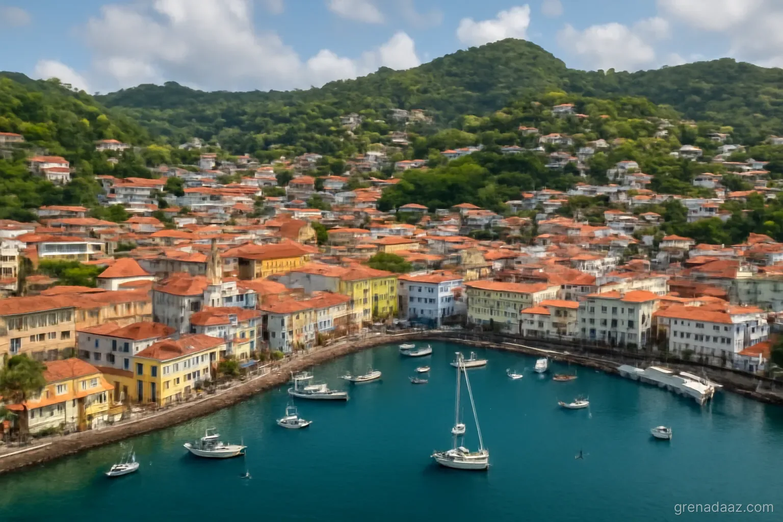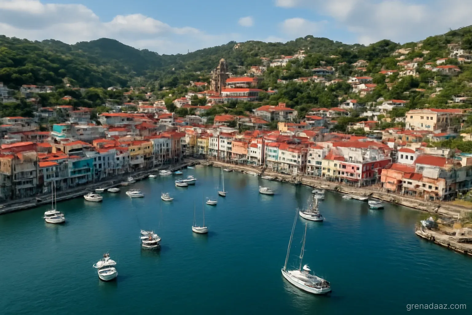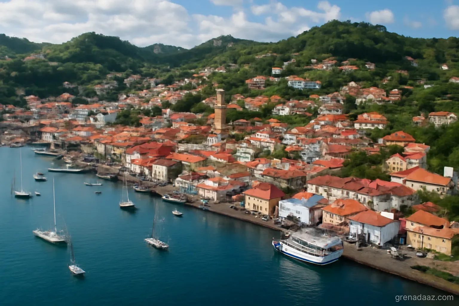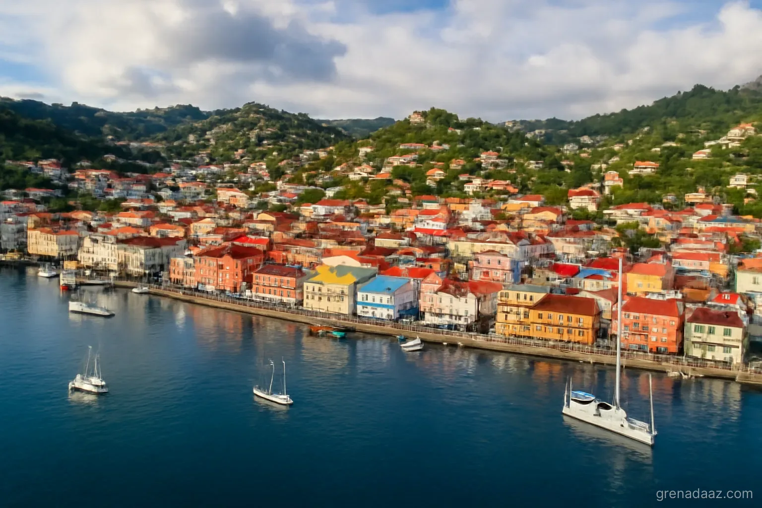
An orientation for someone encountering Grenada for the first time, focused on the things that are not obvious from a map.
The scale surprises people
The main island can be driven end to end in a couple of hours, but the terrain makes distances feel longer than they look. Roads follow the contours of steep hills, with tight bends and frequent gradients. A journey of twenty kilometres is not a twenty-minute drive.
This shapes daily life: people cluster in the southwest where the terrain is gentler, the beaches are calmest and the airport sits.
How the island is laid out
- Southwest — the capital, the airport, the main tourism strip, the university, most services. Where most visitors and foreign residents spend their time
- West coast — sheltered Caribbean side, fishing villages, calm water
- East coast — Atlantic-facing, rougher, less developed, more agricultural
- Interior — mountainous rainforest, sparsely inhabited, crossed by a few roads
- North — quieter, with the ferry link to the sister islands
Getting around
- Minibuses — the backbone of local transport, cheap, frequent on main routes, and an experience in themselves
- Taxis — plentiful, fares often fixed by route rather than metered; agree before setting off
- Car hire — the practical choice for exploring, requiring a local permit issued on presentation of a home licence
- Ferry — to Carriacou, a journey that can be rough depending on conditions
Two practical notes: driving is on the left, and a temporary local driving permit is required for visitors, obtainable through the rental company or police.
What tends to surprise visitors
- How green and mountainous it is — the mental image of a flat sandy island is wrong
- How small the population is — around a hundred thousand people, which is a town in many countries
- How present agriculture still is — nutmeg, cocoa and fruit are visible everywhere, not confined to plantations
- How American the university district feels — the offshore medical school creates a distinct enclave
- How much rain the interior gets compared with the coast
Practicalities
Currency — the Eastern Caribbean dollar, with US dollars widely accepted at a customary rate; cards are accepted in tourist areas but cash is essential elsewhere. Electricity runs on the British plug standard. Water is generally treated and reliable in the main areas. Mobile coverage is good along the developed coast, patchier in the interior.
Frequently asked questions
Is Grenada easy to drive around?
Distances are short but the terrain is steep and winding, so journeys take longer than the map suggests. Driving is on the left.
Do visitors need a local driving permit?
Yes — a temporary local permit is required, obtainable through the rental company or police on presentation of a home licence.
Where is everything concentrated?
The southwest — the capital, airport, main tourism strip, university and most services.
Are US dollars accepted?
Widely, at a customary rate, though the Eastern Caribbean dollar is the local currency and cash is essential outside tourist areas.
Need a tailored roadmap?
Viking Global Group walks with you from paperwork to settlement. Call +849.219.219.88 or email [email protected] for a free consultation.
Related articles
Frequently Asked Questions
How does this relate to the Grenada guide?
The article links the Grenada guide to overview.
Information is for reference and may change under the latest official policy. Please contact us for current regulations.